
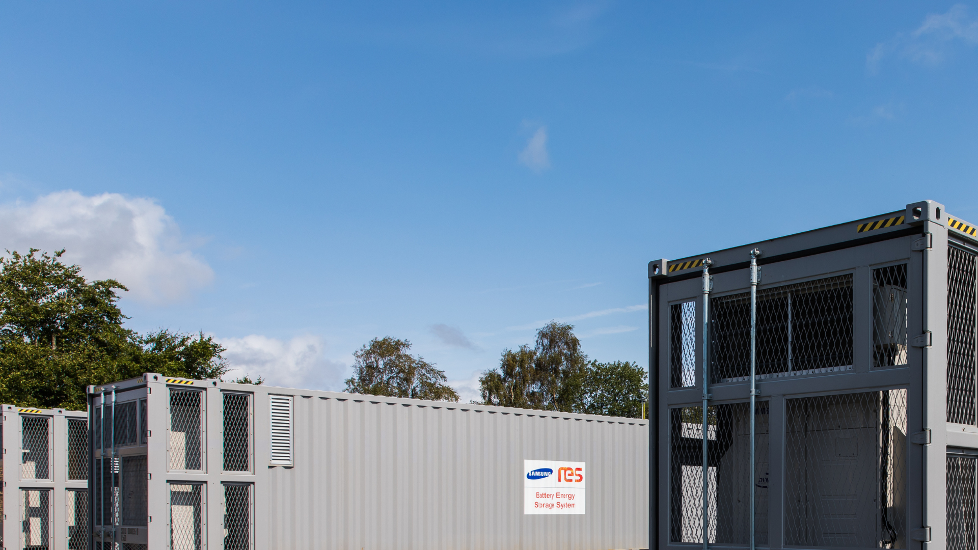
Bunyip North Energy Storage
A new energy storage project in Australia
Indicative Layout
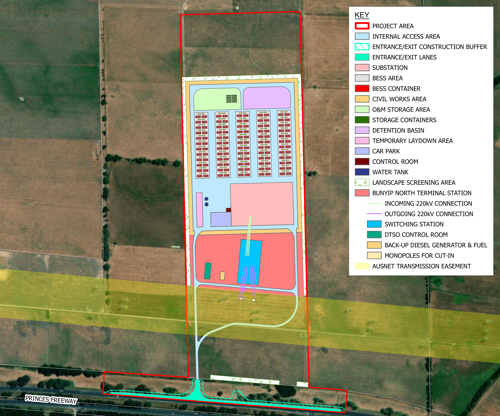
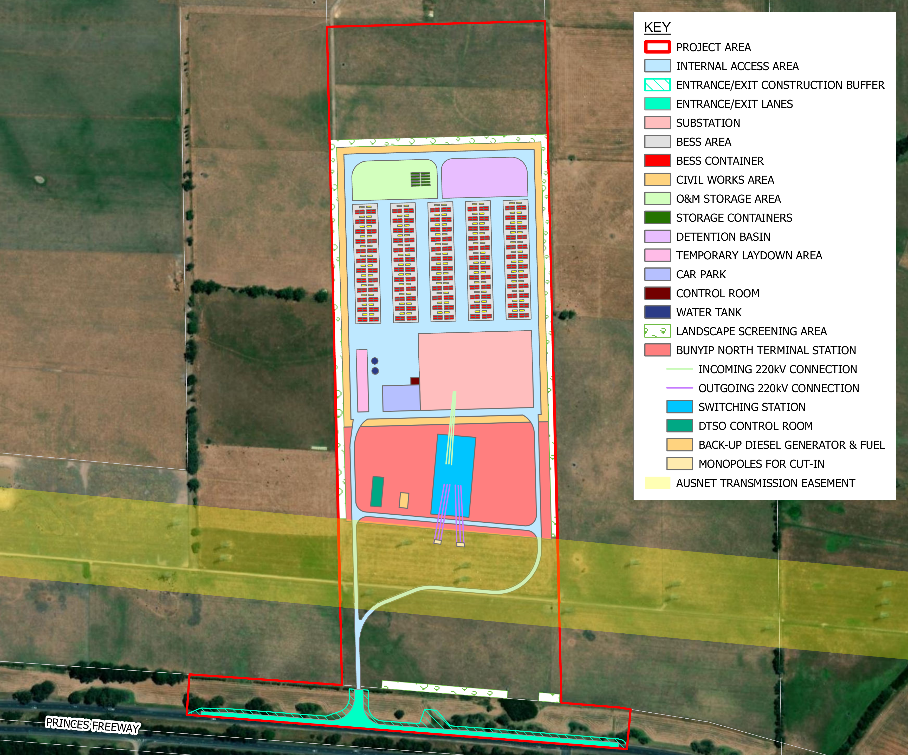
An indicative layout has been prepared to show the proposed arrangement of project components within the project area, including access and grid connection infrastructure. Project components include:
- Battery energy storage units (containerised battery units) and associated electrical equipment.
- Power conversion equipment (inverters/transformers) and on‑site electrical infrastructure to enable safe operation.
- Grid connection infrastructure, including the on‑site substation and terminal station.
- Supporting infrastructure to enable safe operation and site management, including a control building/control systems, internal access and parking, firefighting water storage and fire safety systems, stormwater management, landscaping, and temporary construction areas.
Technical Assessments
The full technical reports can be viewed on the Ministerial Permits Register as part of the public notice of the planning application.
Ecology and Environment
- Detailed field surveys within and surrounding the project area have informed the understanding of biodiversity values and constraints relevant to the Project.
- The project area has been designed to support an appropriate buffer from higher-quality native vegetation and aquatic habitat (including potential habitat for threatened species) that were identified around Cannibal Creek to the Project's north.
- Mitigation measures including the established buffer, maintenance of avoidance strategies and vegetation management support the project proceeding with minimal environmental risk.
- The Project was referred under the EPBC Act and determined to be "not a controlled action" — it does not require separate Commonwealth approval and is not expected to significantly affect nationally protected species.
Fire and Risk
- A Risk Management Plan and Fire Safety Study, prepared by Fire Risk Consultants, found that fire risks can be managed to an acceptable level and that the Project is not expected to increase bushfire risk to nearby land or communities.
- Proposed measures include perimeter firebreaks, emergency vehicle access, a dedicated firefighting water supply, separation distances, and fire detection and suppression systems built into the battery units.
- A Fire Management Plan and Emergency Management Plan will also be prepared to guide fire safety throughout the life of the Project.
Agriculture
-
An agricultural assessment by Pinion Advisory found the Project would use about 17.5 hectares of grazing land with a negligible impact on the farm’s ongoing viability.
-
The Project would not fragment farmland or cause long-term loss of soil productivity, and most infrastructure could be removed at the end of the Project’s life. Any reduction in grazing capacity could be managed through farm adjustments and offset by lease income.
Noise
- A noise impact assessment by ERM considered 134 nearby noise-sensitive locations during the day, evening and night, against Victorian EPA noise limits.
- Operational noise from the Project is expected to meet all relevant limits at all times, with no specific noise mitigation required.
Traffic and Access
- A traffic impact assessment by Amber Organisation found the proposed access arrangements — a new access point from the Princes Freeway along the southern boundary of the site — are suitable for the types and number of vehicles expected during construction and operation.
- Most equipment would be delivered using B-double vehicles travelling from the Port of Melbourne, with only a small number of oversize movements for larger items such as transformers. Once operating, traffic would be minimal and generally limited to periodic maintenance visits.
- A Traffic Management Plan will be prepared before construction to confirm safe routes and manage vehicle movements.
Hydrology
- A flood modelling assessment by Water Technology found most of the development footprint is either flood-free or would only experience shallow, slow-moving overland flow in a 1% annual chance flood event — a low flood hazard.
- The site is not in a Floodway Overlay or Land Subject to Inundation Overlay.
- A further assessment will be completed before construction to confirm local overland flow paths and ensure stormwater is appropriately managed on-site without further impact to surrounding properties.
Landscape and Visual
- A landscape and visual impact assessment by Landform Architects found the Project’s visual impact would be ‘low to negligible’ from all assessed viewpoints, with no locations rated ‘moderate’ or ‘high’.
- Existing vegetation along fencelines, Cannibal Creek and Tea Tree Creek would help screen views, and targeted native planting could further reduce views in locations such as gaps in roadside vegetation along the Princes Freeway.
- Photomontages: